In a nutshell
- A long limestone escarpment along Estonia's north coast, reaching the sea as the Pakri cliffs on the peninsula at Paldiski, west of Tallinn.
- The day trip booked from this site visits Suurupi, Keila Waterfall, Paldiski, the Pakri Lighthouse and Rummu Quarry.[1]
- FlixBus runs 2 rides each day between Tallinn and Rummu, and the road transfer from Rummu Quarry to Tallinn is 45 km, about 50 min.[2][3]
- Summer for warm water and long light, autumn for colour and quiet paths, winter for a frozen quarry and the ice rink.
- Rummu Caravan Park, in Rummu Quarry, offers overnight accommodation for motorhomes, caravans and tents.[4]
- Top choice Rummu, Cliffs & Keila Falls from US$144 Duration6 hours[1]GroupSmall group, 7 people[1]Rating4.76 from 133 reviews[1]CancellationFree up to 24 hours ahead[1] Check availability
- Paldiski Sights & Rummu from US$127 Duration7 hours[5]GroupSmall group, 8 people[5]Rating4.15 from 6 reviews[5]CancellationFree up to 24 hours ahead[5] See this tour
- Pakri Park & Coastal Cliffs from US$167 Duration5 hours[6]GroupPrivate group[6]Rating4.69 from 8 reviews[6]CancellationFree up to 24 hours ahead[6] See this tour
The stone has a beautiful whitish-grey colour, marble-like structure and texture, also it is easy to process. It is a detritic limestone that because of its structure is locally also known as "Vasalemma marble".
Is the Pakri Cliff Day Trip Worth It?
Know before you leave
On the day
- FlixBus runs 2 rides each day between Tallinn and Rummu.[2]
- Take a windproof layer and sunglasses; the cliff top is open to the sea breeze.
- Keep back from the edge and from the base of overhangs, and give nesting birds room.
- Wear shoes with grip for loose gravel, wet clay and boulders on the beach.
The Baltic Klint: A Wall of Stone Along the Coast
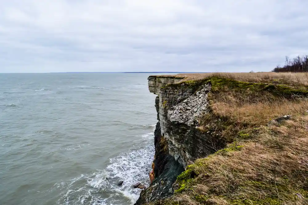
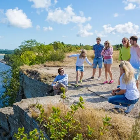
Estonia's north coast is edged by a long limestone escarpment, the Baltic Klint, running from the western islands across to the Russian border. At the Pakri peninsula, west of Tallinn, the cliffs reach the sea as a sheer wall of pale grey rock, with a narrow boulder beach at its foot and a flat, pine-covered plateau on top. Stand on the edge and the land simply stops.
The face is a stack of thin horizontal beds, each one a former sea floor. Some bands are hard and stand out as ledges, others crumble and leave hollows, and the whole wall has a striped, weathered look that changes with the light. In rain the grey turns almost black, and in low evening sun it goes honey-coloured. The layers are easiest to read from the beach below.
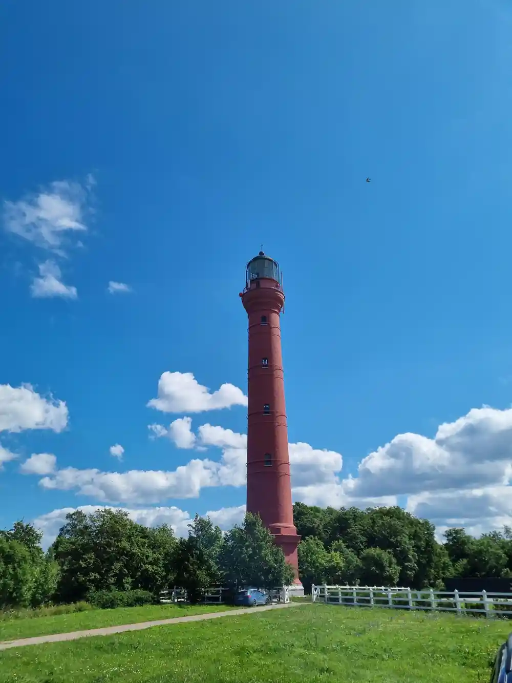
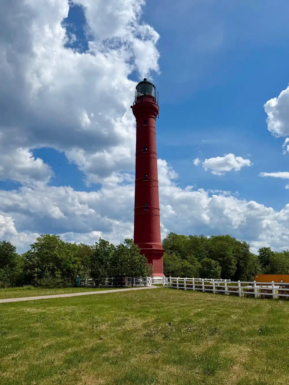
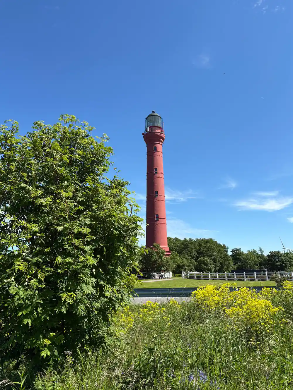
The Pakri cliffs are the simplest big section of the klint to visit from Tallinn, and a guided day trip takes in several stops along the same coast. The route used by the Rummu Quarry, Coastal Cliffs & Keila Waterfall tour includes Suurupi, Keila Waterfall, Paldiski, the Pakri Lighthouse and Rummu Quarry.[1] You see the cliff, the waterfall and the flooded quarry in one run instead of working out rural connections on your own. It starts from US$144.[1]
Limestone and the Life of Ancient Seas
Every band in the cliff was once the floor of a shallow sea that covered this part of the world. The rock is limestone, built largely from the hard parts of sea creatures: shells, coral-like colonies, the stems of crinoids and the lace-like skeletons of bryozoans. Break a loose block on the beach and you can often pick out those fossils as pale shapes in the grey stone.
A local variety of this stone earned a nickname. Vasalemma marble is a local name for Vasalemma limestone, a detritic limestone with a marble-like structure and texture.[10] It belongs to the same family of rock as the cliff face and takes a polish well. On the beach you can compare the rough, weathered beds with the smooth, cut stone you meet later in the city.
The beds are not all the same hardness. Softer, clay-rich layers wear back into the face, harder ones resist and form shelves, so the wall is a stack of steps and overhangs rather than a flat sheet. Walking along the base means scrambling over blocks that have come down from above, and it also means you can put your hand on layers laid down long before there was anything on land to see them.
Pale limestone beds above the Baltic Sea, with the cliff dropping in one clean step to the boulders.
The Oil Shale Seam: Algae Turned to Fuel
Among the limestone beds lies a dark, brown-black seam of oil shale, known in Estonia as kukersite. It began as algae and other tiny organisms settling on the sea floor in enormous quantities and being buried in mud, season after season. Over long ages, heat and pressure turned that organic sludge into a rock that burns. Seen from a distance the seam is just a line; close up it is a band of thin, papery sheets.
Oil shale has been mined and burned for power and processed for oil in Estonia for generations, and it shaped towns and landscapes across the north east of the country. In the cliff the seam shows as a darker line sandwiched between pale limestone, easy to spot once you know what you are looking for. Pick up a piece from the beach and it feels light, dull and slightly gritty, and it smears a brown line across your fingers.
Blue Clay: The Base Layer Under the Cliffs
The bottom of the klint is not limestone at all. Below the pale beds lies a soft blue-grey clay, laid down on an older sea floor and now exposed along the shore. It is slick when wet, cracks into hard blocks when dry, and feels cool and faintly soapy between the fingers. After rain the beach below the cliff can be genuinely treacherous, and the clay holds footprints for days.
The sea works at that clay constantly. Waves and winter ice hollow out the base, the limestone above loses its support in sections, and blocks come down on to the beach. Fallen slabs at the foot of the wall are often freshly broken, with sharp edges and clean faces that show the layers better than the weathered cliff behind them. For walkers, the clay is the part to respect. Stay back from the edge and from the foot of any overhang, and treat wet clay the way you would treat wet ice.
from US$144
Small group limited to 7 participants, live English guide, and free cancellation up to 24 hours in advance.[1]
The Same Stone Built Medieval Tallinn
Limestone from the klint and from the quarries behind it is the stone of Tallinn's old town. The city walls, the squat round towers, the church naves and the merchant houses are all cut from the same pale grey rock, and the quarries that supplied it lie along the coast west and east of the city. Look up at a tower and you are looking at the same beds you walked past on the shore.
In the old town you can see the stone weathering in much the same way as the cliff, with hard beds standing proud and softer ones hollowed out. Look at the base of a tower or the corner of a wall and you will find fossil fragments and cross-bedding, the same marks you saw on the beach. Spend one day on the coast with a guide, then walk the walls and lanes, where the same rock appears in doorways, paving and foundations.
Seabirds Nesting on the Cliff Ledges
In spring and summer the ledges fill with nesting birds. Gulls, cormorants and other seabirds use the narrow shelves and crevices of the klint, and the noise and movement above the water is part of what makes standing on the edge memorable. Early morning is the busiest time, and the low sun lights the birds against the rock.
Give them room. Birds flushed off a nest leave eggs and chicks exposed to cold and to predators, and the edges themselves are unstable. Binoculars or a long lens will get you closer than your feet need to, and they keep you safely back from the drop. Below the colonies the rock is often streaked white, a useful clue to where the busiest ledges are.
Keep to the path rather than cutting across the grass towards the drop. The plateau behind the cliff is the most solid ground on the peninsula, and the boulder beach below is the place to read the layers at eye level. Keep dogs close if you have one with you, and give any bird that starts calling and circling a wide berth.
Reading the Cliff: What You Are Looking At
Start at the base and work upward. Blue clay sits at the bottom, then pale limestone in thin beds, then the dark oil shale line, then more limestone, and finally the soil and pine roots of the plateau. On the beach, fallen blocks let you see all of that within a few steps. A hand lens or a phone camera held close will show shell fragments and tiny branching fossils.
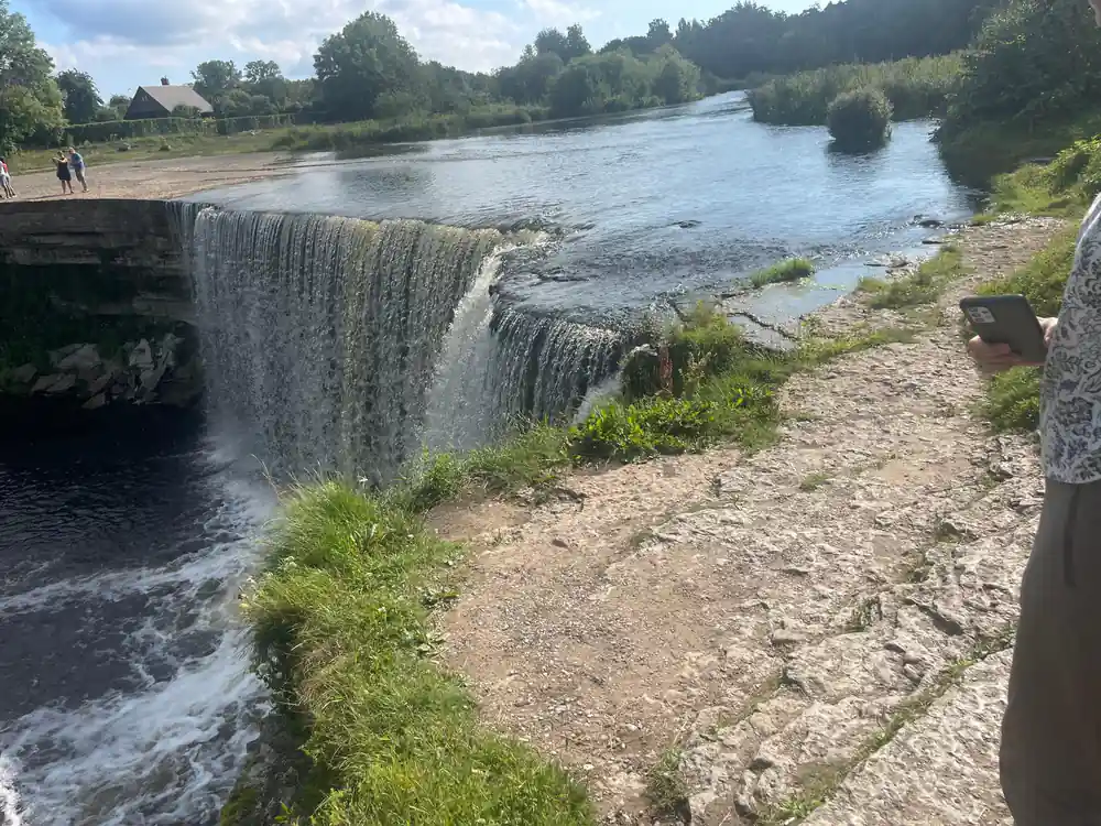
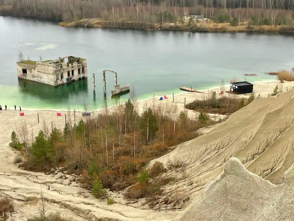
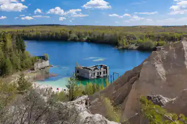
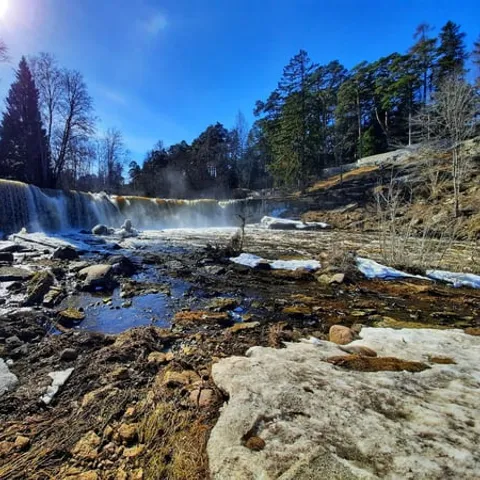
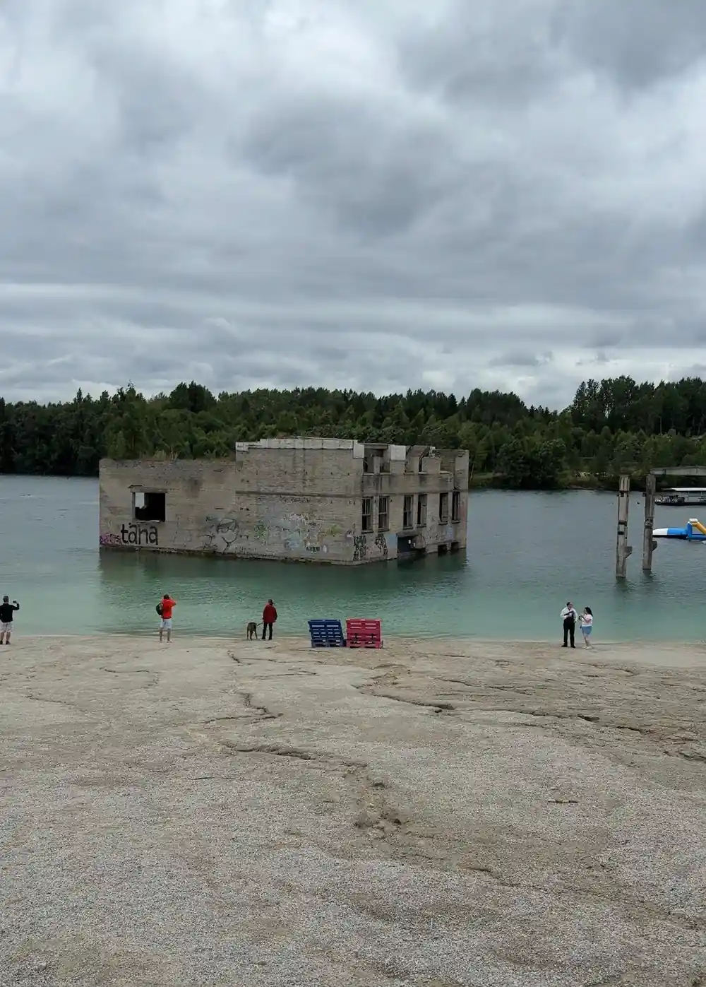
Round the coast from Paldiski, the same limestone country produces stops worth combining with the cliffs. Keila waterfall is 6 metres high.[11] Inland at Rummu, a former prison quarry filled with water when the pumps that kept it dry were shut down after the prison closed in 1991, and the lake left behind reaches a maximum depth of 14 metres.[12][13] Rummu quarry is an unofficial and unguarded place for swimming or diving, where locals usually come to swim in summer.[14]
Summer water temperature is 15.0 to 20.0 °C.[8] Rummu Diving & WaterSports organises weekly dives for certified divers, open water dives for incomplete courses and full OWD courses.[15] If you would rather stay dry, Rummu Quarry is open all year round, 10:00 to 20:00[7], and sauna rituals are offered at Paekalda Holiday Center.[16]
How long each day trip lasts
Listed durations for each tour: Rummu Quarry, Coastal Cliffs & Keila Waterfall[1], Paldiski Soviet Era Sights and Rummu Quarry[5], Pakri landscape conservation park and coast[6] and Jägala Waterfall and Harju County[17].
What a day on the coast costs
From-prices per person in US dollars for these tour listings: Rummu Quarry, Coastal Cliffs & Keila Waterfall[1], Paldiski Soviet Era Sights and Rummu Quarry[5], Pakri landscape conservation park and coast[6] and Jägala Waterfall and Harju County[17].
When to Go to the Pakri Cliffs
Planning a Cliff Day Out
Book the guided day
A small group limited to 7 participants, live English-speaking guide and free cancellation up to 24 hours in advance.[1]
Sort out transport
FlixBus runs 2 rides each day between Tallinn and Rummu[2]. By road, Rummu Quarry to Tallinn is 45 km and about 50 min.[3]
Dress for wind and rock
The cliff top is open to the sea breeze. Layers, a windproof shell and shoes with grip on loose gravel and wet clay.
Stay near the quarry
Rummu Caravan Park offers overnight accommodation for motorhomes, caravans and tents.[4]
Add Keila waterfall
Keila waterfall is 6 metres high and stands on the Keila River in Harju County.[11]
Rummu Quarry, Coastal Cliffs and Keila Waterfall in One Day
from US$144Reserve now & pay later