In a nutshell
- Paldiski sits on Estonia's north-west coast, on a limestone peninsula with the Baltic on three sides and the Pakri cliffs at its western tip.
- Under Soviet rule the town was a closed naval base, fenced and off limits, and the barracks and apartment blocks from those years still stand.
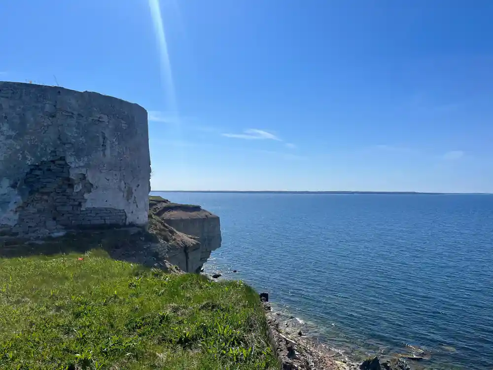
- The Pakri cliffs are part of the Baltic Klint, a pale limestone wall dropping to boulders and sea, with the lighthouse out at the peninsula tip.
- The Rummu Quarry, Coastal Cliffs & Keila Waterfall day tour runs 6 hours in a small group limited to 7, from US$144, rated 4.76 from 133 reviews.[1]
- The flooded quarry next door is open all year round every day from 10:00 to 20:00, and the lake is 14 metres at its deepest.[2][3]
- Top choice Rummu, cliffs & Keila from US$144 Duration6 hours[1]GroupSmall group, max 7[1]Rating4.76 from 133 reviews[1]GuideLive guide in English[1]StopsSuurupi, Keila Waterfall, Paldiski, Rummu[1] Check availability
- Paldiski Soviet sights from US$127 Duration7 hours[4]GroupSmall group, max 8[4]Rating4.15 from 6 reviews[4]GuideLive guide in English[4]StopsPaldiski, Pakri Cliff, Rummu Quarry[4] See this tour
- Pakri park & coast from US$167 Duration5 hours[5]GroupPrivate group[5]Rating4.69 from 8 reviews[5]GuideLive guide in English, Estonian[5]StopsPaldiski, local cafe, Keila Waterfall[5] See this tour
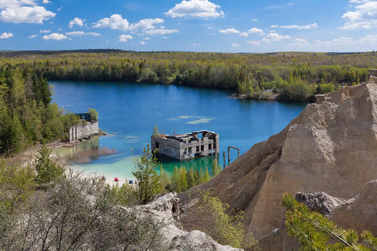
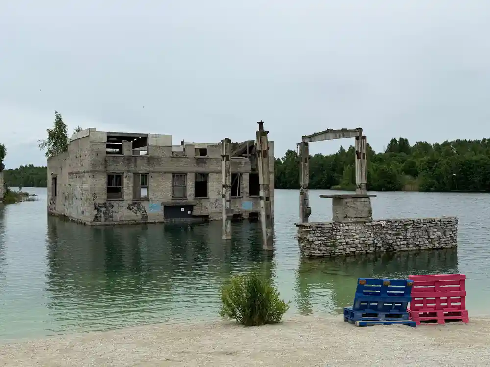
When the prison closed after 1991, pumps that once kept the quarry and the prison dry were shut down, causing water to fill the quarry.
Is a Paldiski and Pakri cliffs day worth it?
Know before you leave
On the ground
- FlixBus runs 2 rides each day between Tallinn and Rummu.[7]
- Rummu quarry is an unofficial and unguarded place for swimming or diving.[8]
- Small groups on the Rummu, cliffs and Keila day tour are limited to 7 participants.[1]
- A winter ticket includes access to the quarry, the skating rink, the prison and an audio guide.[9]
Paldiski: a closed city on the Gulf of Finland
Paldiski sits on a flat limestone peninsula on Estonia's north-west coast, with the sea on three sides and pine and juniper along the road in. The streets are wide and grey, the buildings low, and on a windy day the town feels like it belongs to the water rather than to the land behind it. Paldiski Bay opens north toward the open Baltic, and the harbour is the reason the place exists at all: it began as a tsarist naval port, laid out on a grid that still shapes the streets you drive through today. There is no grand promenade and no old town wall, just a harbour arm, a market square and a handful of streets where the town started.
Paldiski what to do questions have short answers here, and nearly all of them are outdoors. You walk the harbour and the older streets, look at the Soviet blocks, drive the coast road out to the cliff viewpoints, and finish at the flooded quarry at Rummu. There are few places to eat out on the peninsula, so stop in town before you head west. Pack a windproof jacket and shoes that cope with wet grass and loose stones, and give Paldiski half a day before you carry on down the coast.
Soviet secrecy and the submarine training base
Under Soviet rule Paldiski became a closed military town. A naval base and a training centre for submarine crews were installed here, and the whole place was fenced, guarded and off limits. Ordinary Estonians could not simply drive in for a look, and the town dropped out of ordinary maps and timetables. The buildings from those years survive in rows: barracks, schools, officers' blocks, boiler houses and long concrete walls, standing behind a thin screen of birch and pine.
That secrecy is the part of Paldiski history most travellers come for, and you meet it on foot rather than in a museum. There are no ropes, labels or ticket desks, and often nobody else around, just peeling paint, boarded windows and gulls over an empty square. Stay on the roads and paths, keep out of buildings that look unsafe, and remember that some of these blocks are still lived in or used by businesses. Treat the place as a neighbourhood rather than a ruin to climb.
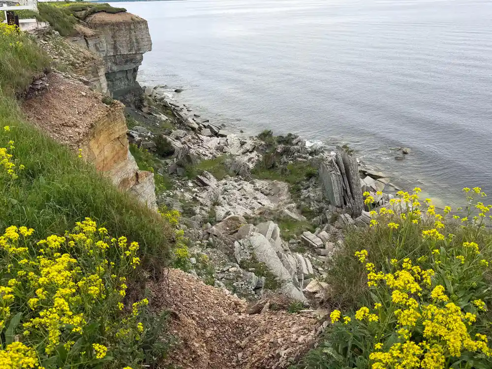
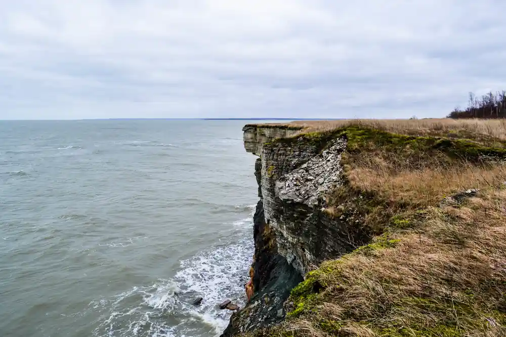
The Pakri cliffs fall straight to a boulder beach, with seabirds riding the wind along the edge.
What Paldiski looks like now
Paldiski today is a small working town with a harbour, a ferry pier and long Soviet apartment blocks standing between the centre and the sea. Closer to the water the older streets are low, pale and tightly packed, and the mix of tsarist stone, Soviet concrete and fresh paint is what makes the place worth a slow walk. The old town is compact, so an hour on foot shows you most of it, and the sea is never more than a few streets away.
Start at the market square, walk down towards the harbour, and look for the Paldiski church on the higher ground above the older streets; its tower is the easiest landmark to steer by. Then take the coast road west, past the last houses and the concrete perimeter walls, until the land opens out and the cliffs begin. That short drive is where the town ends and the Pakri peninsula starts, and the change comes quickly.
The Pakri cliffs and the Baltic Klint
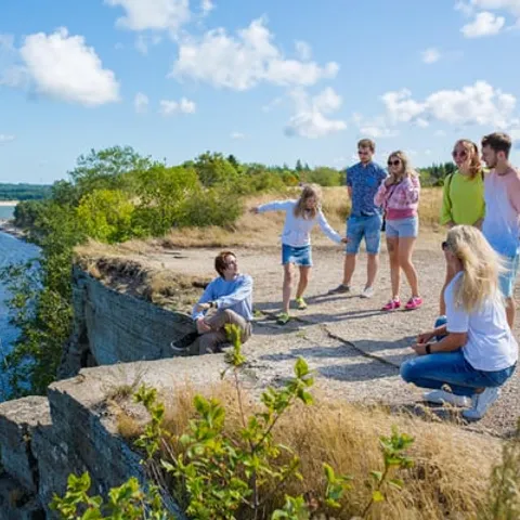
West of town the coast turns to cliff. The Pakri cliffs are part of the Baltic Klint, the long limestone escarpment that runs beneath the sea from Estonia towards Sweden, and here it shows as a pale grey wall dropping to the water. Below is a narrow beach of boulders and broken slabs; above, seabirds ride the updraught along the edge. The light changes fast, and on clear days you can watch weather move in from the horizon long before it reaches you.
The cliff edge is not fenced everywhere and the top layer of rock is soft. Keep well back, especially on wet ground or in strong wind, and do not try to climb down unless you can see a safe way back up. A short walk along the clifftop path takes in the best viewpoints, and in autumn the slope turns bronze with bracken. Early and late in the day the light is at its best, and there is usually more wind up here than you expect.
from US$144
Rummu Quarry, Coastal Cliffs & Keila Waterfall from Tallinn: 6 hours, small group limited to 7, rated 4.76 from 133 reviews.[1]
Fossils in the limestone and what they tell you
The rock beneath Paldiski is old seabed, laid down when this corner of the world was a warm shallow sea. Look at a loose slab and you can often pick out fossil fragments: the ridged stems of crinoids, ribbed shells, and the odd darker patch that turns out to be the cast of something small. Children are usually better at spotting them than adults. Take only what is already loose on the beach and leave the cliff face and the boulders as they are.
The same stone appears inland in a slightly different form. Vasalemma limestone is a detritic limestone with a marble-like structure and texture, and it is locally known as Vasalemma marble.[10] You can see how it weathers and colours on older buildings around Paldiski and in nearby villages, where pale grey stone with faint shell marks turns up in walls, steps and doorways. Worth a look before you reach the coast, especially if you like buildings as much as cliffs.
Pakri lighthouse and the coast road
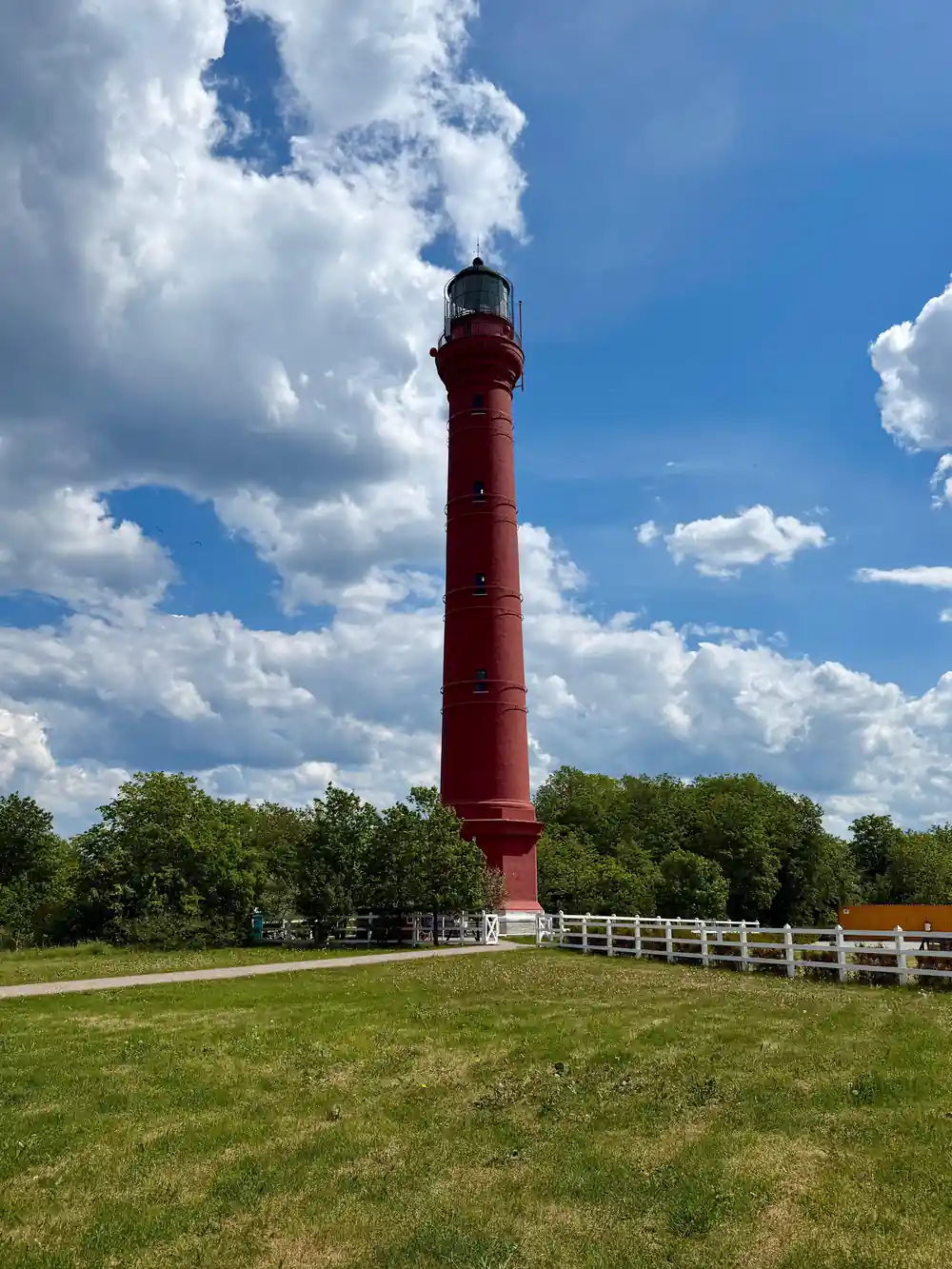
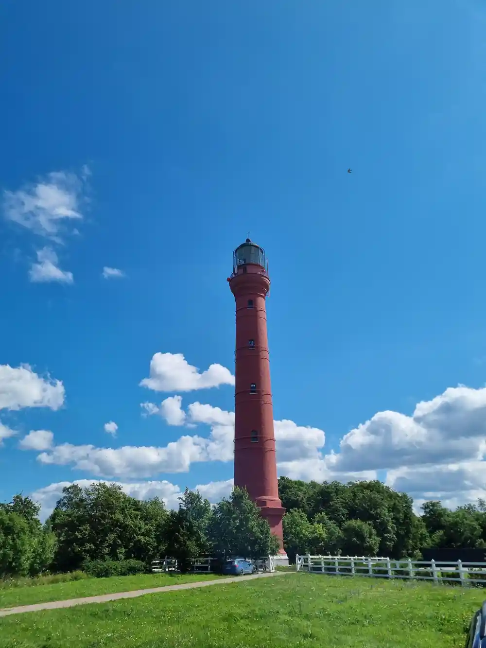
The coast road runs west to the tip of the Pakri peninsula, where a lighthouse stands above the cliffs. It has guided ships in from the Gulf of Finland for a long time, and the walk around the point is a good place to watch the sea, the birds and the weather coming in. The day tour that takes in Rummu quarry, the coastal cliffs and Keila waterfall stops at the Pakri Lighthouse, as well as Suurupi, Keila Waterfall, Paldiski and the quarry.[1]
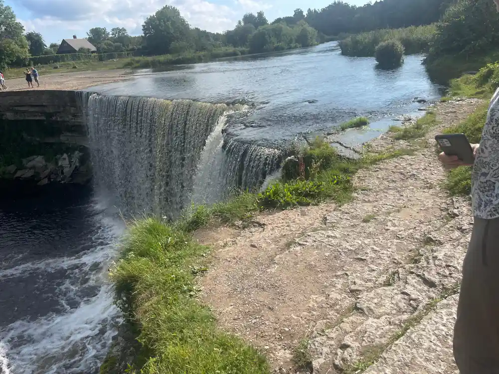
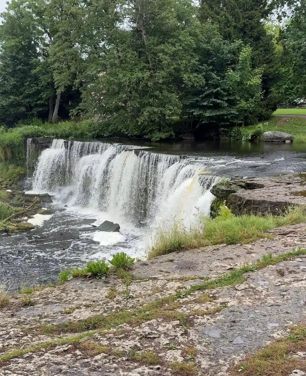
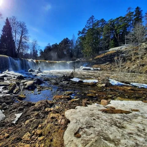
If you are driving, the road to the lighthouse is easy and the parking sits close to the cliff path. Without a car the peninsula is best folded into a guided day out, since public transport out here is thin and a taxi from Paldiski adds up. Keila waterfall is 6 metres high and sits on the way back towards Tallinn, the natural second stop of the day.[11] From the car park it is a short walk to the wooden platforms above the river.
Rummu quarry and the submerged stone landscape
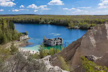
Rummu is the other half of a Paldiski day out: a flooded limestone quarry with a ruined prison on its shore, turquoise water and drowned buildings standing up to their windows. The quarry began to fill with water after the nearby prison closed after 1991 and the pumps that kept the quarry dry were shut down.[12] The lake reaches a maximum depth of 14 metres.[3] Walk the shore, look into the windows of the old workshops, and watch how quickly the water colour changes with the sky.
Swimming and diving here are unofficial and unguarded, and locals usually come to swim in summer.[8] In summer the water temperature at Rummu Quarry is 15.0-20.0 °C.[6] If you hold a diving certificate, Rummu Diving & WaterSports organizes weekly dives for certified divers, open water dives for those whose courses are incomplete, and full OWD courses.[13]
The site is open all year round every day from 10:00 to 20:00.[2] Without a car, FlixBus runs 2 rides each day between Tallinn and Rummu.[7] By road the transfer from Rummu Quarry and Prison to Tallinn is 45 km, with an estimated time of 50 min.[14] If you would rather stay beside the water, Rummu Caravan Park offers overnight accommodation for motorhomes, caravans and tents.[15] In winter a single ticket includes access to the quarry along with the skating rink, the prison and an audio guide.[9]
How long the Tallinn day tours run
From-prices for Tallinn day tours
From-prices in US dollars from GetYourGuide listings:[1],[4],[5],[17].
When to go to Paldiski and the Pakri cliffs
Plan your Paldiski day out
Pick your base
Start from Tallinn and drive or ride west, or join a guided day that leaves the driving and the stops to someone else.
Walk the old town
Give the centre and the harbour a slow hour on foot, then look for the church tower above the older streets.
Continue to the cliffs
Take the coast road out to the Pakri cliffs and the lighthouse, and keep well back from the soft cliff edge.
Add Rummu quarry
Finish at the flooded quarry, where you can walk the shore, swim if you like, or watch the light on the water.
Bring the right kit
Windproof jacket, grippy shoes, water and a camera; the peninsula has little shelter and few shops.
See Paldiski, the Pakri cliffs and Rummu quarry in one day
from US$144Reserve now & pay later