In a nutshell
- Keila waterfall is 6 metres high, spilling across a limestone ledge into a wooded gorge on the river west of Tallinn.[1]
- A road transfer from Rummu Quarry and Prison to Tallinn is listed at 45 km and an estimated 50 min, and FlixBus runs 2 rides each day between Tallinn and Rummu.[2][3]
- Rummu Quarry is open all year round, Monday to Sunday, 10:00 to 20:00, and summer water temperatures there are 15.0-20.0 °C.[4][5]
- The tour on this page lasts 6 hours, is limited to 7 participants, has a live English speaking guide, and starts from US$144.[6]
- In winter a ticket to the Rummu skating rink includes access to the Rummu quarry, the rink, the prison and an audio guide.[7]
- Top choice Rummu, Cliffs & Keila Falls from US$144 Duration6 hours[6]GroupSmall group, max 7[6]Rating4.76 from 133 reviews[6]GuideEnglish[6] Check availability
- Jägala Waterfall & Harju from US$135 Duration4 hours[8]GroupSmall group, max 7[8]Rating4.86 from 114 reviews[8]GuideEnglish[8] See this tour
- Pakri Park & Keila Falls from US$167 Duration5 hours[9]GroupPrivate group[9]Rating4.69 from 8 reviews[9]GuideEnglish, Estonian[9] See this tour
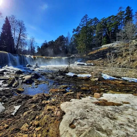
Keila waterfall is located on Keila River in Harju County, Keila rural municipality, Keila-Joa small town. A full 6 metres high, and tens of metres wide, Keila waterfall is the third largest waterfall in Estonia; after the Narva and Jägala waterfalls.
A coast day that earns its place on the itinerary
Getting there and booking
Keila Waterfall: the drop on the Keila River
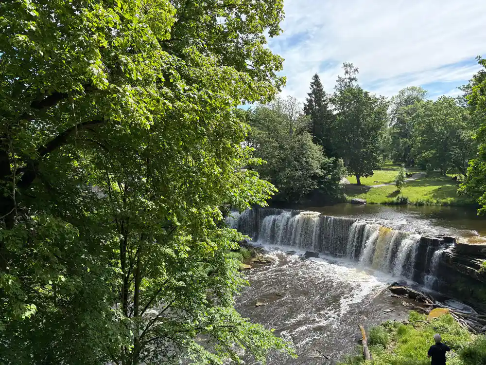
Keila waterfall sits in a wooded gorge a short drive west of Tallinn, where the river slides over a limestone ledge and falls into a green pool below. The fall is 6 metres high.[1] It is not a narrow spout but a broad curtain of water spread across the rock, and after heavy rain you hear it before you see it. In dry spells it thins into separate threads and you can pick out the pitted face of the ledge behind.
The site is easy to enjoy without any scrambling. A path leads down from the parking area to viewpoints above the pool, close enough for photographs in almost any weather. The Keila-Joa waterfall, as the signs call it, keeps company with a manor house on the ridge above, a romantic, castle-like building with turrets and tall windows looking out over the water. Trees crowd both slopes, so the falls feel tucked away even though the road runs right past them.
Spring is the loudest season. Melting snow across the county feeds the river, the curtain widens and spray soaks the railings of the viewing platforms. Summer brings lower water, long evenings and picnics on the grass by the manor park. Autumn is quieter and the gorge turns to rust and gold. Whenever you come, the ground near the falls stays damp, so pack shoes with a decent tread.
Frozen mornings at Keila waterfall
A spell of hard frost changes the place completely. A Keila waterfall frozen into blue-white columns and curtains of ice is one of the sights photographers on this coast wait all winter for. Water keeps moving behind the ice, so the shape changes from week to week: fat pillars near the lip, thin glassy sheets where spray has landed on branches, and a dark open channel at the pool below.
Come early if you want the ice to yourself. The low winter sun reaches the bottom of the gorge only for a short window, and that is when the frozen sheets glow while the manor on the ridge is still in shadow. Cold air sinks into the valley, so it feels noticeably chillier at the water than in the car park above, and an extra layer, gloves and a warm hat turn a quick look into a comfortable hour.
Watching from the viewpoints is the sensible way to see the ice. Rocks and wooden steps get slick, riverside edges can be soft, and the safest photographs are taken from behind the railings. Climbers do come for the frozen falls, but that is a technical, guided business with proper equipment, not a spur of the moment scramble in borrowed boots.
Ice building on the limestone ledge at Keila waterfall in a hard frost
The old hydroelectric station and the manor estate
Just downstream of the falls you can see the remains of a small hydroelectric station built to harness the Keila river. Water still spills around its walls, and the structure makes a strange, handsome silhouette against the trees. It is a reminder that this gorge has been a working place for a long time, with mills, a paper works and machinery that used the drop in the river long before anyone arrived here with a camera.
Above the gorge stands the manor house, the reason people talk about the Keila-Joa waterfall and castle in the same breath. It is a romantic, turreted building in a park of old trees, and it gives the whole site a slightly theatrical feel. Wander up from the falls and you get views back down over the water through the branches, plus lawns, benches and paths that make an easy loop for anyone who does not fancy a long walk.
The estate and the industrial ruins sit close together, and that contrast is part of the charm. You can look at ornate stonework, then turn and look at concrete and rust within a few minutes of each other. There is usually somewhere nearby for coffee and cake, and the little settlement around the manor is a pleasant place to stretch your legs before carrying on along the coast toward Paldiski and the cliffs.
Gorge ecology and wildlife along the river
The damp limestone walls of the gorge are a small, specific habitat. Mosses, ferns and liverworts coat the rock where spray keeps it wet, and the shaded slopes hold plants that would struggle out in the open fields. Fallen trunks and stumps stay green with growth, and the whole valley feels older and softer than the farmland on either side.
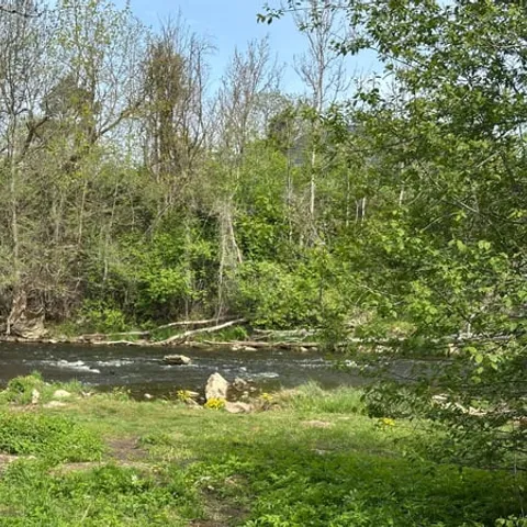
The river is a working corridor for wildlife. Fish move between the sea and the upper reaches, herons stand in the shallows below the falls, and dippers bob on the wet stones. In the evening, bats work along the tree line. None of this is a zoo. You may see a great deal on one visit and almost nothing on the next, depending on water levels, noise and how still you are willing to stand.
Walking quietly pays off. Keep to the paths, avoid pushing through the undergrowth, and give anything nesting plenty of room, especially in spring. Binoculars help more than a long lens here, because much of the activity happens in shade and behind branches. With children, the short loop between the viewpoints, the manor and the riverbank is the easiest way to see wildlife without a long hike.
from US$144
The tour booked from this site lasts 6 hours, is limited to 7 participants and has a live English speaking guide.[6]
Suurupi lighthouses and the Tallinn Bay coast
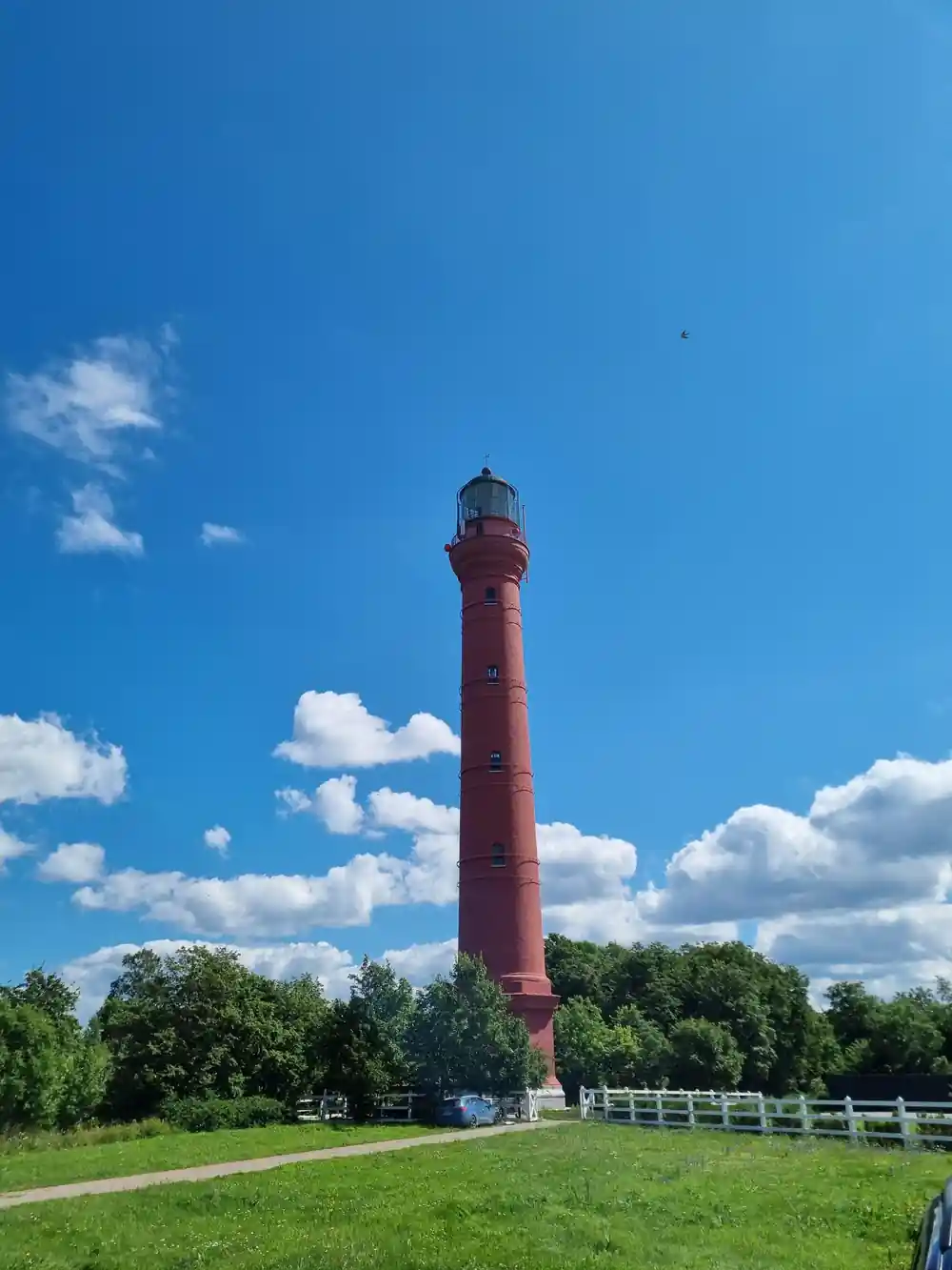
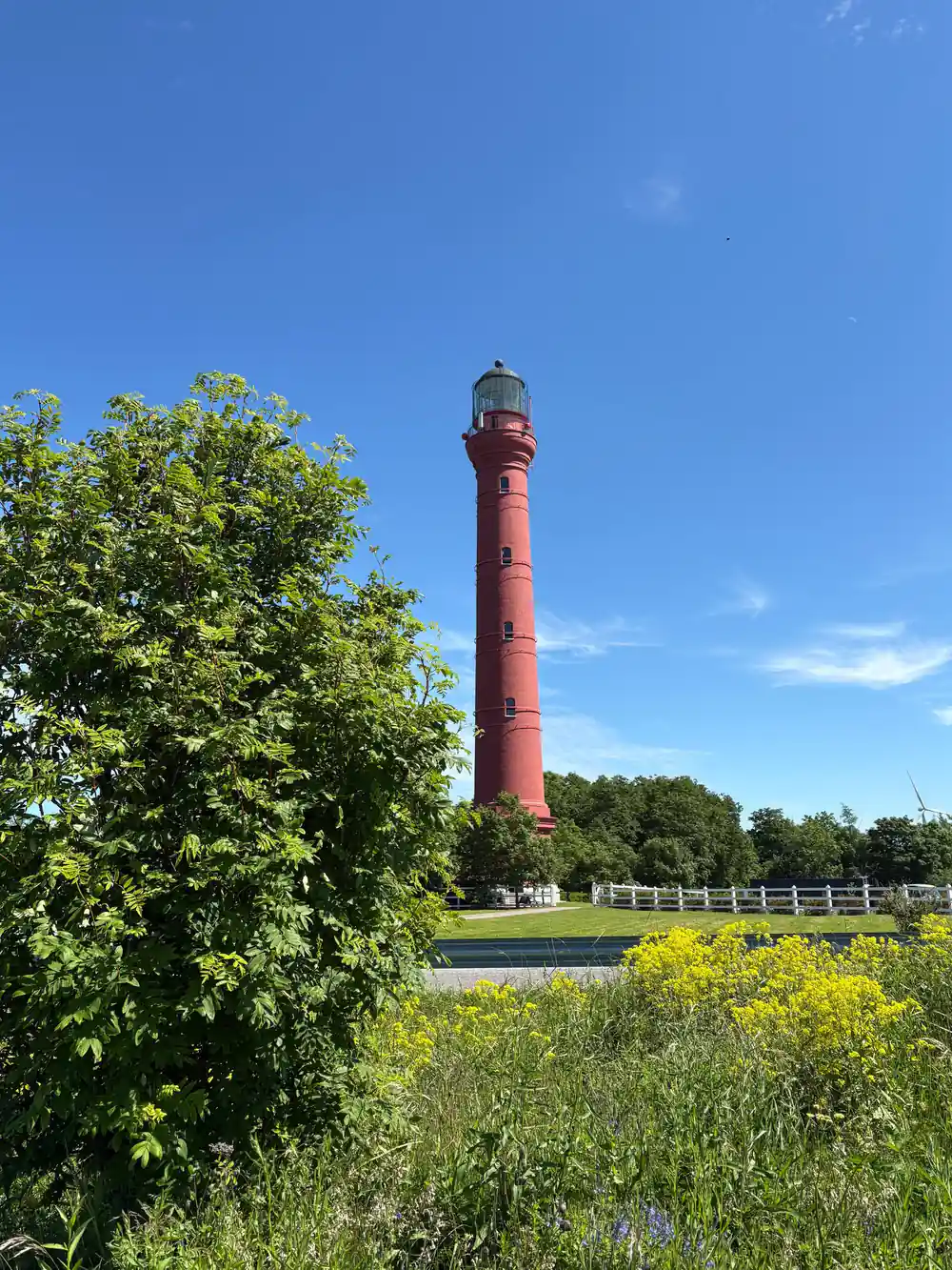
West of Tallinn the coast turns into a low, pine-covered peninsula at Suurupi, and the day tour on this page includes a stop there.[6] Light towers have guided ships along this stretch of Tallinn Bay for a very long time, and the mark they make on the skyline is part of what makes the coastal drive memorable. Between the trees you get sudden views of the bay, shingle beaches and grey water stretching north.
The lights are arranged so that sailors can line them up and hold a safe course into the bay. Even if navigation is not your interest, the stop is worth it: sandy tracks, wind-bent pines, berries in late summer and a horizon that seems to go on forever. Bring a windproof layer, because the headland is exposed and the breeze off the Baltic rarely stops.
This is also working water. Cargo ships, ferries and fishing boats cross the bay all year, and in a hard winter ice forms along the shore and has to be broken to keep the route open. Standing on the headland you can usually pick out traffic heading for the harbour, tankers waiting offshore and the low shapes of islands to the north. It is a quiet-looking coast that carries a great deal of trade.
Limestone: the shared geology of cliffs and falls
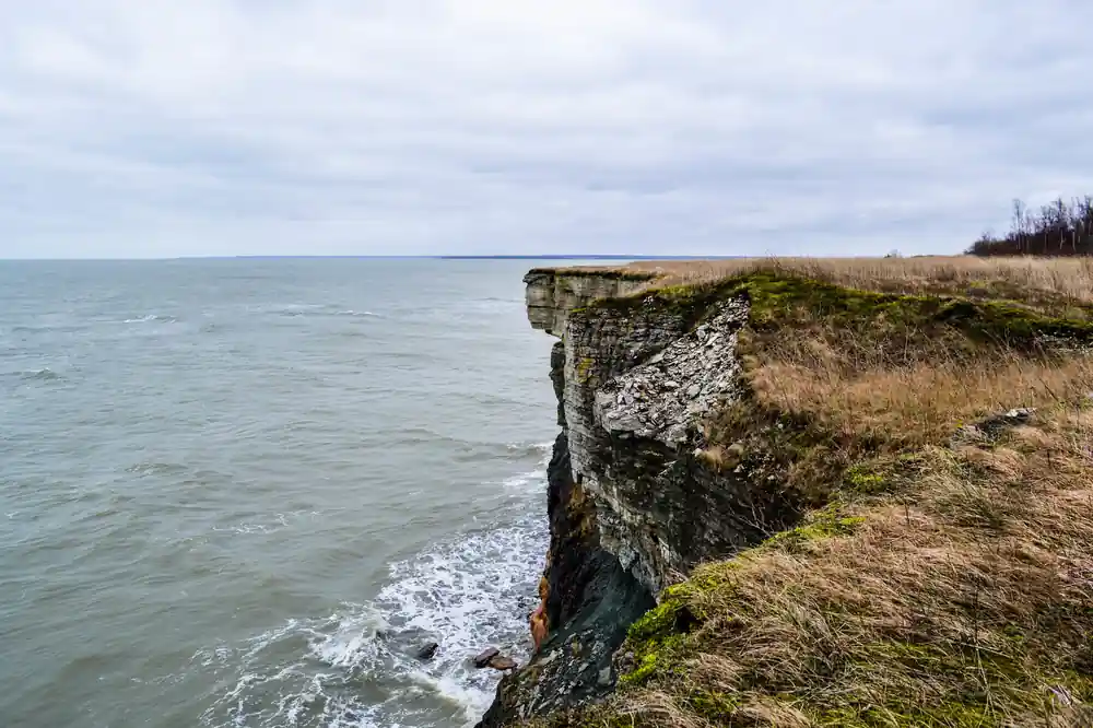
The falls, the cliffs at Paldiski and the quarry at Rummu are all carved from the same bedrock. Northern Estonia sits on thick layers of limestone and sandstone laid down on an ancient sea floor, and the river has cut through the top of that stack, leaving a hard lip for the water to spill over. That is why the drop reads as a clean, flat ledge rather than a tumbling cascade.
Not all of the local stone is the same, and the differences show up in the buildings. Vasalemma marble is a local name for Vasalemma limestone, a detritic limestone with a marble-like structure and texture.[12] It is easy to process, and it appears in walls, floors and facings on buildings along this coast. Houses built from local stone have a pale, softly patterned look that stands out against the darker timber and brick around them.
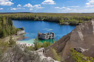
The same bedrock shapes the whole day out. Cliffs stand where the rock is hardest, softer beds slump into slopes, rivers spill over resistant ledges, and quarries open where stone was worth digging. The lake at Rummu reaches a maximum depth of 14 metres,[13] and it began to fill with water after the prison closed after 1991, when the pumps that once kept the quarry dry were shut down.[14]
Planning your day on the north Estonian coast
The coast between Tallinn, Keila-Joa, Paldiski and Rummu is short by most standards, but public transport along it is thin. A road transfer from Rummu Quarry and Prison to Tallinn is listed at 45 km and an estimated 50 min.[2] FlixBus runs 2 rides each day between Tallinn and Rummu.[3] Many travellers hire a car or join a small group day instead.
The small group day tour runs for 6 hours with a live English speaking guide and is limited to 7 participants, from US$144.[6] Its itinerary lists Suurupi, Keila Waterfall, Paldiski, Pakri Lighthouse and Rummu Quarry among the stops, and free cancellation is available up to 24 hours in advance.[6] If you are looking for Keila waterfall tickets, joining a tour that already stops at the falls is one way to organise the day.
At Rummu, the quarry is open all year round, Monday to Sunday, 10:00 to 20:00.[4] Summer water there sits at 15.0-20.0 °C, and Rummu Diving & WaterSports organises weekly dives for certified divers, open water dives for those whose courses are incomplete, and full OWD courses.[5][10] Swimming is unofficial and unguarded, with locals usually coming in summer.[15] If you want to stay, Rummu Caravan Park takes motorhomes, caravans and tents, sauna rituals are offered at Paekalda Holiday Center, and a skating rink ticket in winter includes access to the quarry, the rink, the prison and an audio guide.[7][11][16]
How long each day tour runs
Durations in hours as listed on the tour pages[6],[17],[9] and[8].
What the coastal day tours cost
US dollar from-prices of the tour listings[6],[8],[9] and[17].
When to plan your visit
How the day comes together
Book a small group seat
The tour on this page runs for 6 hours, is limited to 7 participants and starts from US$144 per person.[6]
Meet your guide
An English speaking guide leads the day, with stops listed at Suurupi, Keila Waterfall, Paldiski, Pakri Lighthouse and Rummu Quarry.[6]
Walk down to the falls
At Keila the path drops from the road to viewpoints above the pool. The fall is 6 metres high.[1] Wear shoes with grip.
Roll on to the coast
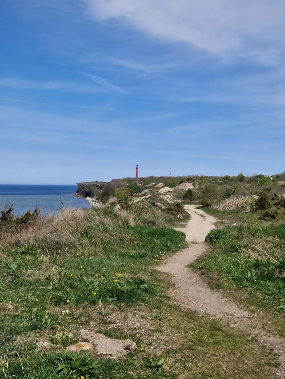
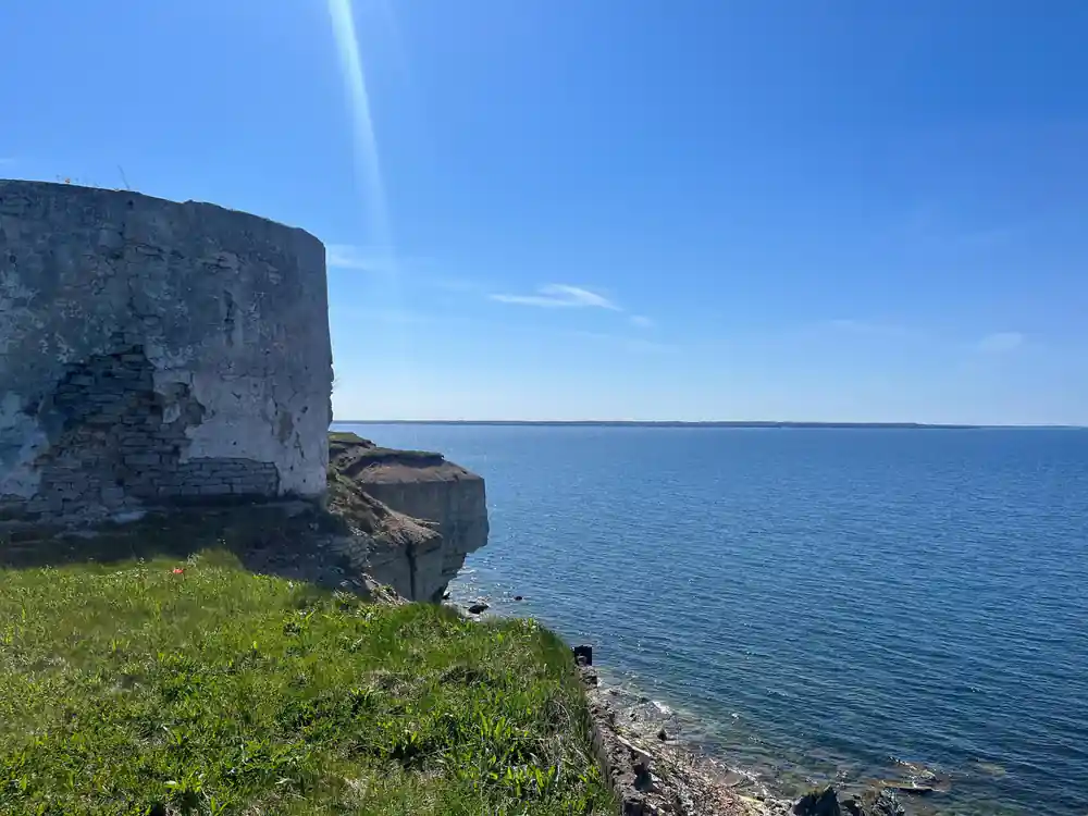
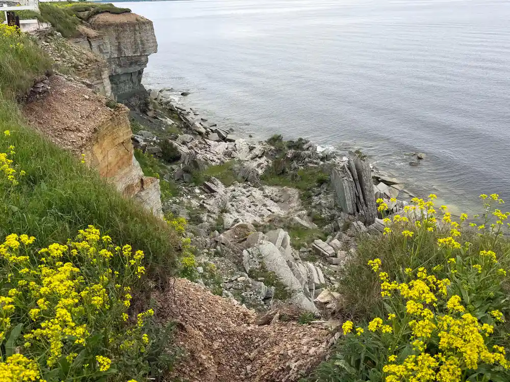
The drive continues to Paldiski and Pakri Lighthouse, where limestone cliffs meet the Baltic, then west to Rummu Quarry and its flooded lake.
Keep your plans flexible
Free cancellation is offered up to 24 hours in advance, and you can reserve now and pay later.[6]
See Keila Waterfall, the cliffs and Rummu in one day
from US$144Reserve now & pay later